

Rogers Data VFR Charts

Austria Set of 4: Austria North East, Austria North West, Austria South East and Austria South WestLaminated Set of 4 charts on a scale of 1:200.000 covering AustriaBased on ICAO Annex 4; EU-Commission Regulations; AIPVery clear representation of the ATS airspace structureReporting points, border crossing pointsDanger- and restricted areasAerial sporting and recreational activitiesAreas with sensitive fauna

European Aerodromes North Wallchart 2.500k 2017-2020Europe map on a scale of 1:2.500.000Aerodromes with ICAO codeColourful and accurateUrban areasInternational bordersVFR an IFR aerodromesCivil- and military aerodromesThe european region is covered by two maps(North and South). The Charts are highly detailed and accurately fit together.

Approach and Aerodrom Charts of all aerodromes existing in AustriaVFR Trip Kit in DIN A5 size, spiral bound with metal spiralsIts a summary of all civil and military aerodromes existing in AustriaAn approach and aerodrome chart is provided for each aerodrome including all necessary information for VFRAll approach charts are on a scale of 1:200.000Aerodrome charts are presented with an aerial photoHighly sophisticated paper and digital printedSpiral bound with metal spirals sheets can be flipped over completelyEasy & comfortable handling in the cockpitFormat: DIN A5

Laminated Aeronautical chart on a scale of 1:500.000According to ICAO Annex 4; EU-Commission Regulations; AIPClear representation of the ATS airspace structureReporting points, border crossing pointsDanger- and restricted areasAerial sporting and recreational activitiesAreas with sensitive fauna
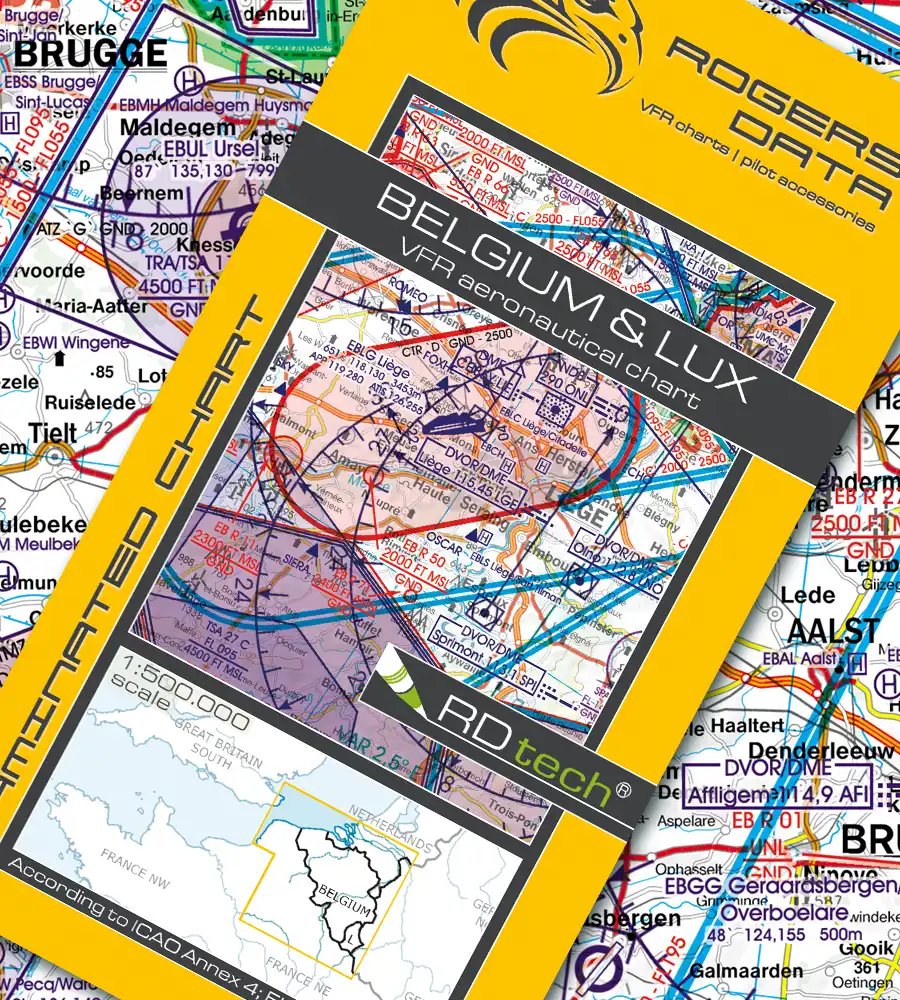
Laminated Aeronautical chart on a scale of 1:500.000According to ICAO Annex 4; EU-Commission Regulations; AIPClear representation of the ATS airspace structureReporting points, border crossing pointsDanger- and restricted areasAerial sporting and recreational activitiesAreas with sensitive fauna

Laminated Aeronautical chart on a scale of 1:500.000According to ICAO Annex 4; EU-Commission Regulations; AIPClear representation of the ATS airspace structureReporting points, border crossing pointsDanger- and restricted areasAerial sporting and recreational activitiesAreas with sensitive fauna

Laminated Aeronautical chart on a scale of 1:500.000According to ICAO Annex 4; EU-Commission Regulations; AIPClear representation of the ATS airspace structureReporting points, border crossing pointsDanger- and restricted areasAerial sporting and recreational activitiesAreas with sensitive fauna

Laminated Aeronautical chart on a scale of 1:500.000According to ICAO Annex 4; EU-Commission Regulations; AIPClear representation of the ATS airspace structureReporting points, border crossing pointsDanger- and restricted areasAerial sporting and recreational activitiesAreas with sensitive fauna

Laminated Aeronautical chart on a scale of 1:500.000According to ICAO Annex 4; EU-Commission Regulations; AIPClear representation of the ATS airspace structureReporting points, border crossing pointsDanger- and restricted areasAerial sporting and recreational activitiesAreas with sensitive fauna

Laminated Aeronautical chart on a scale of 1:500.000According to ICAO Annex 4; EU-Commission Regulations; AIPClear representation of the ATS airspace structureReporting points, border crossing pointsDanger- and restricted areasAerial sporting and recreational activitiesAreas with sensitive fauna

Laminated Aeronautical chart on a scale of 1:500.000According to ICAO Annex 4; EU-Commission Regulations; AIPClear representation of the ATS airspace structureReporting points, border crossing pointsDanger- and restricted areasAerial sporting and recreational activitiesAreas with sensitive fauna

Laminated Aeronautical chart on a scale of 1:500.000According to ICAO Annex 4; EU-Commission Regulations; AIPClear representation of the ATS airspace structureReporting points, border crossing pointsDanger- and restricted areasAerial sporting and recreational activitiesAreas with sensitive fauna

Laminated Aeronautical chart on a scale of 1:500.000According to ICAO Annex 4; EU-Commission Regulations; AIPClear representation of the ATS airspace structureReporting points, border crossing pointsDanger- and restricted areasAerial sporting and recreational activitiesAreas with sensitive fauna

Laminated Aeronautical chart on a scale of 1:500.000According to ICAO Annex 4; EU-Commission Regulations; AIPClear representation of the ATS airspace structureReporting points, border crossing pointsDanger- and restricted areasAerial sporting and recreational activitiesAreas with sensitive fauna

Laminated Aeronautical chart on a scale of 1:500.000According to ICAO Annex 4; EU-Commission Regulations; AIPClear representation of the ATS airspace structureReporting points, border crossing pointsDanger- and restricted areasAerial sporting and recreational activitiesAreas with sensitive fauna
